Note: In order to generate kWh production numbers you will still need to generated viewsheds. The Irradiance map is just a visual reference layer at this time.
Where can I see the Irradiance Map?
The irradiance map is currently exclusive to our Prelim environment. To turn the overlay on or off, click on the radiant sun icon on the top menu bar.
The Hotkey for the Irradiance Map is "i".
How to use the Irradiance Map
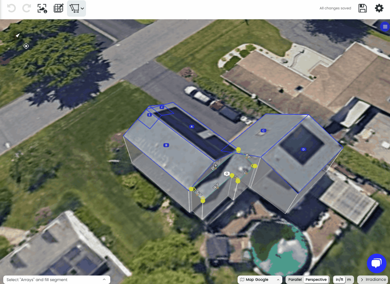
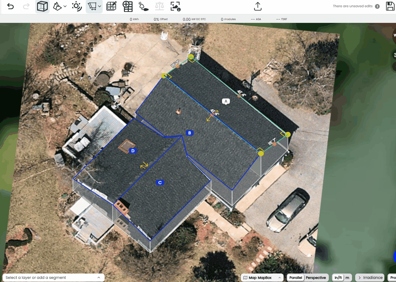
First, toggle on the Irradiance map by opening the layer in the lower right corner of the S3D window.
NOTE: The first time you load the Irradiance map for a scene you will have to wait for the Irradiance map to calculate which can take a few seconds depending on scene complexity
Once the irradiance map is calculated, you can visualize which roofs have the most solar potential, based on their appearance, or by hovering your mouse over the roof surfaces and looking at the numbers within the key on the bottom right.

We recommend using the TSRF for a more inclusive visualization that includes losses from both shading and tilt and orientation. For more information on ASA & TSRF please see this support page.
Updates to the Irradiance Map
While the layer is toggled on, the irradiance map recalculates whenever you make edits to the following:
- Adjustments to the segment or keepouts
- Adding or removing import models & removing modules
We recommend turning on the irradiance map once you have fully built out a project site in order to limit the number of times it has to recalculate.