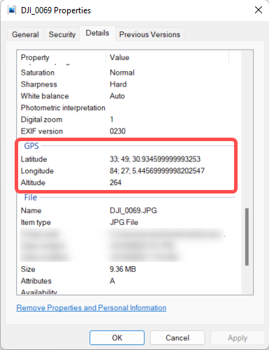
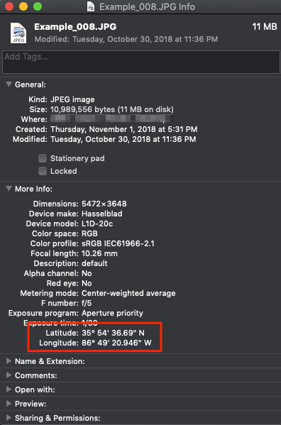
A geo-tagged image includes geolocation information in the image EXIF data. Scanifly's photogrammetry engine uses this location data to scale the 3D model during processing.
You can check to see if the location data is included in the EXIF data by checking the image properties in Windows Explorer or Finder. This is done by right clicking the image file, clicking Properties, select the Details menu, and scrolling down until you see the GPS info.
How to Resolve Missing Location Data
Before getting to the list below, please confirm that you're not uploading cached photos (because they don't include EXIF data) and make sure you have a good transfer connection. A bad transfer can strip EXIF data.
- Confirm that you are not trying to upload cached photos stored on your device, because they do not include EXIF data. You need to load the photos directly from the microSD card.
- Make sure you have a good transfer connection, because a bad transfer can strip EXIF data.
- Ensure you don't take off before your drone confirms you have GPS confirmed.
- Calibrate your drone's compass on a grassy surface as far away from metal objects as possible. Remember, concrete has rebar in it, so it is not an optimal surface to be on when calibrating the drone compass.
- Remove metal or magnetic objects from your person before calibrating your drone's compass. Metal or magnetic objects can interfere with compass readings.
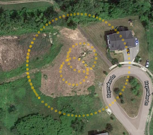
- Find high ground. Eliminating tall obstructions where you are setup at will improve your ability to lock onto satellites. If there is not high ground, move to a place as far away from trees, buildings and vehicles to help maximize satellite locking.
- Plan ahead. Use an app like UAV Forecast to help you not only plan ahead for clear skies, but also help you estimate the number of satellites visible in the sky that you'll be able to lock on to.